A boot in the desert. Santa Fe, 1887
Abstract
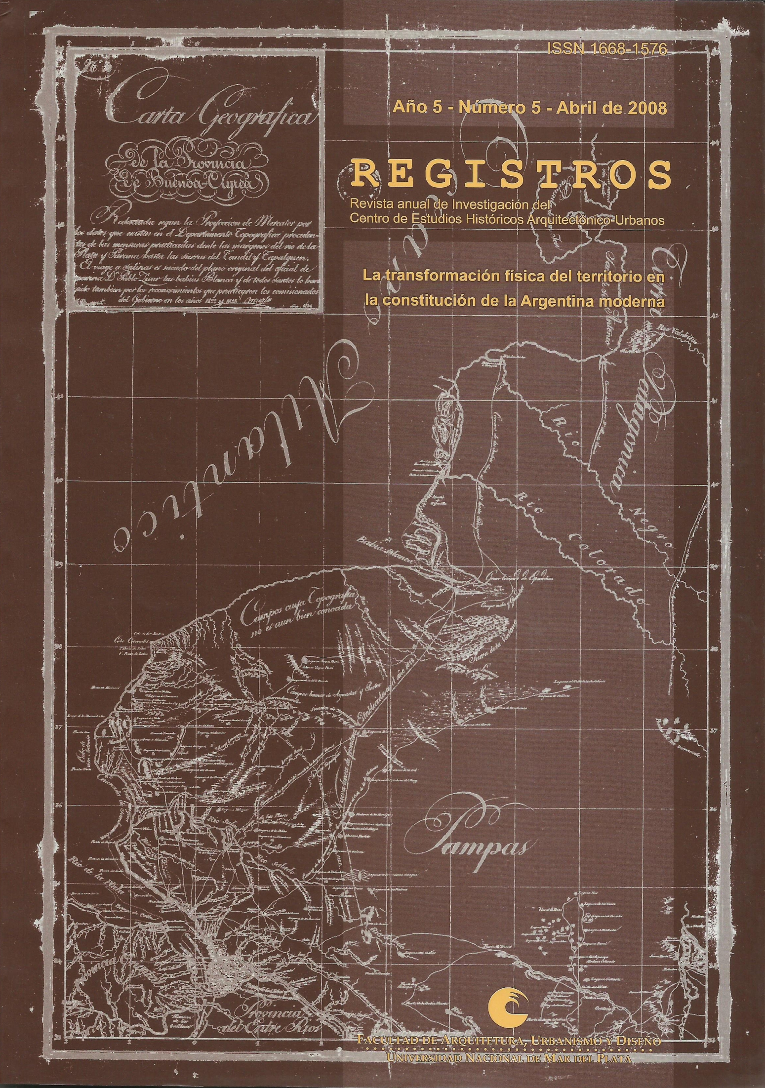
The work approaches the complex definition of the boundaries of the Province of Santa Fe, departing from the description and interpretation of a series of maps made during the 19th century as a graphical register -
Chapeaurouge, 1872 / Grandona, 1876 /Topographic Department, 1877 / The First General Census of the Province, 1887. lnvestigates concerning the conflicting character about the definition of Province borders as space in conformation. Shows the different positions that were assumed by those who constructed the maps against realities that appeared uncertain. Deepens about the notions of desert that, in some cases, are
constructed to justify and/or to distort the history of the disappearance of the native villages that lived the present territory of Santa Fe. Deepens about the significance, fundamentally political and economic that were implying in the preparation of this type of graphical register during thattime.
Downloads
Downloads
Published
How to Cite
Issue
Section
License
https://creativecommons.org/licenses/by/4.0/