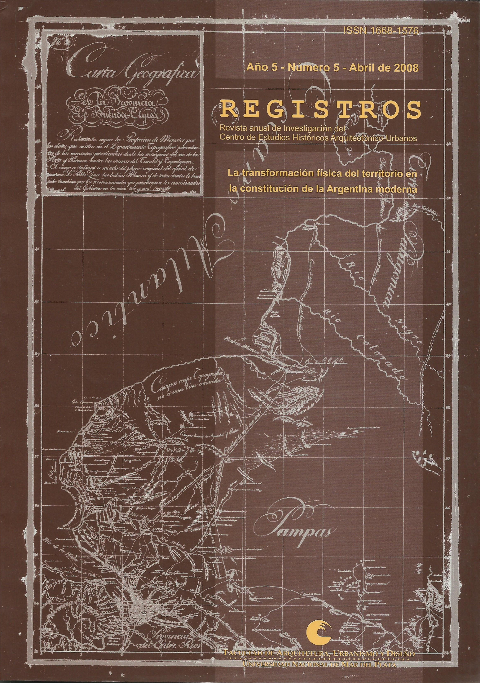
Technical media and the construction of the city
Keywords:
history of cartography, urban history, technical means, Buenos AiresAbstract
The main argument of this paper aims to the instrumental and operative character of the graphic operations related to the city. Our questions seek to illuminate some geometric and numeric methods or devices that, through cartography and its connected practices, contributed in establishing ways of goveming the city along the period of early modernization of Buenos Aires, from mid-XVIII century to the onset of the process of metropolization. We examine this problem by following the introduction and use of three technical means: shapes, lines and figures, and their relationship to technical and territorial conduction paradigms.
Downloads
Downloads
Published
How to Cite
Issue
Section
License
https://creativecommons.org/licenses/by/4.0/

